Drone Footage: Difference between revisions
Jump to navigation
Jump to search
No edit summary |
No edit summary |
||
| Line 17: | Line 17: | ||
<li style="display: inline-block;">[[File:WholeFieldWebSized.jpg|200px|thumb|left|The Entire Field with the Track as of January 28th, [[2018]].]]</li> | <li style="display: inline-block;">[[File:WholeFieldWebSized.jpg|200px|thumb|left|The Entire Field with the Track as of January 28th, [[2018]].]]</li> | ||
<li style="display: inline-block;">[[File:SeniorMainParkingWebSized.jpg|200px|thumb|left|The Senior Parking Lot January 28th, [[2018]].]]</li> | <li style="display: inline-block;">[[File:SeniorMainParkingWebSized.jpg|200px|thumb|left|The Senior Parking Lot January 28th, [[2018]].]]</li> | ||
<li style="display: inline-block;">[[File:GrassEatingAreaWebSized.jpg|200px|thumb|left|The Grass Eating Area January 28th, [[2018]].]]</li> | |||
</ul></div> | </ul></div> | ||
Revision as of 00:57, 11 December 2018
About
All drone footage was taken by Joey Babcock, for legal use outside of sage creek, visit My Website.
These files are either raw images from my DJI Phantom 3 Standard or orthographic images generated from the same drone and processed in PrecisionMapper.
For use, please use the highest resolution versions available, which in the case of the map of the whole school can be obtained by emailing Joey Babcock. This is because the MediaWiki software used here cannot support the ridiculously high resolution that the file is.
Orthographic Files
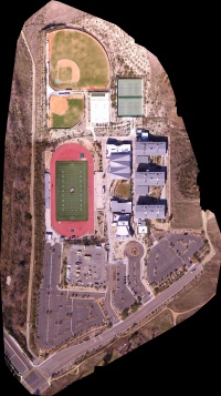
The Entirety of Sage Creek High School as of January 28th, 2018. 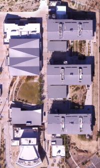
The main buildings as of January 28th, 2018. 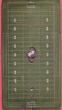
The field as of January 28th, 2018. 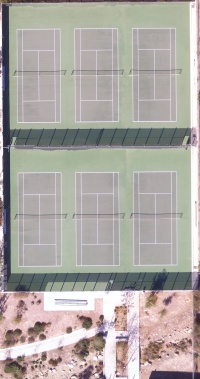
The Tennis Courts as of January 28th, 2018. 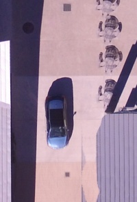
The Coach Kung's Car as of January 28th, 2018. 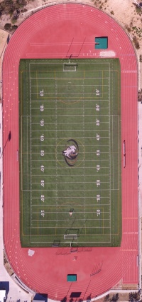
The Entire Field with the Track as of January 28th, 2018. 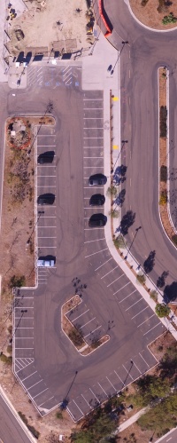
The Senior Parking Lot January 28th, 2018. 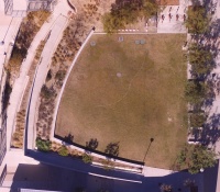
The Grass Eating Area January 28th, 2018.


Wierd Sized
These don't display quite right probably due to a large width:height or height:width ratio.